
FOWLER Drone Program
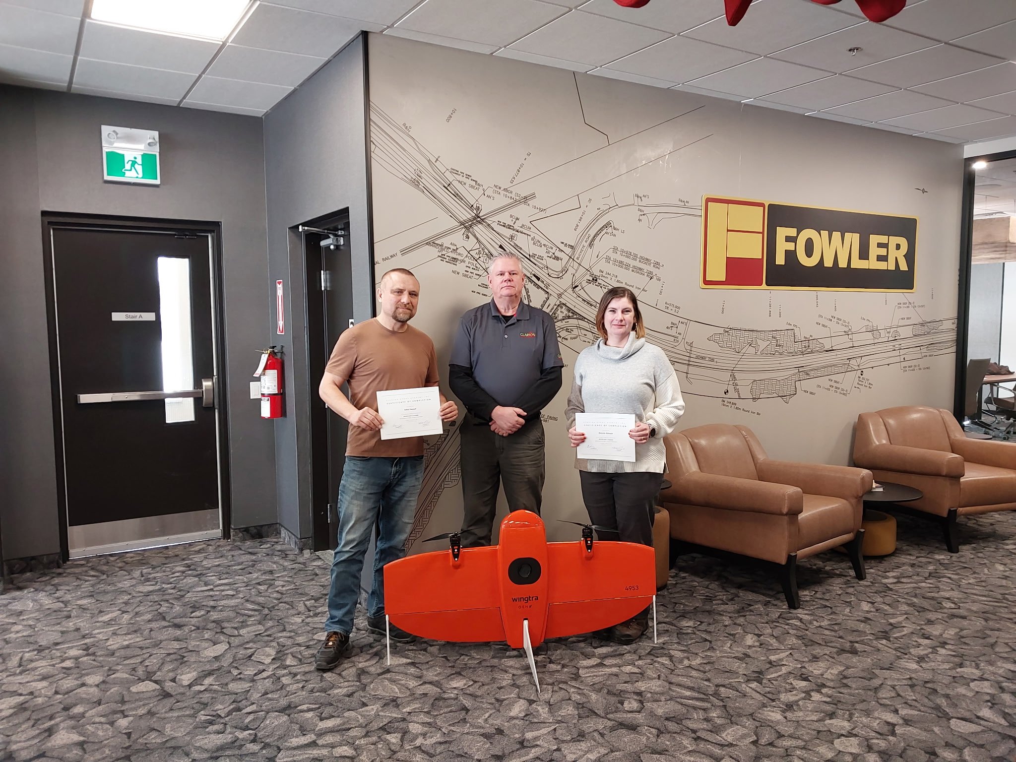
Aerial Precision. Ground-Level Results.
Fowler's drone program started as an in-house tool for our own civil, commercial, and environmental construction work. Today, we're putting that same technology to work for clients, delivering fast, accurate, CAD/GIS-ready topographic mapping for quarries, mining operations, and construction projects.
What Makes Fowler Different
Most drone operators are limited to visual line of sight, restricting them to small sites and short flights. Fowler's fixed-wing drone platform is certified to fly beyond visual line of sight (BVLOS), letting us cover large, remote, and complex sites that other operators simply can't reach.
400 acres mapped in about 4 hours compared to the days or weeks traditional ground crews typically require.
Distance is not a barrier. Whether your site is next door or across the region, we get there.
Built for topographic work. Our fixed-wing platform is optimized for mapping large areas with speed and accuracy; quarries, mine sites, and future construction sites are all a strong fit.
Who We Serve
Quarries and Mining Operations Accurate, up-to-date topographic data to support planning, volume calculations, and site management — without shutting down operations to get it.
Construction Planning Whether you're an individual landowner or a project team scoping a new build, drone mapping gives you the elevation and site data you need before the first shovel hits the ground.
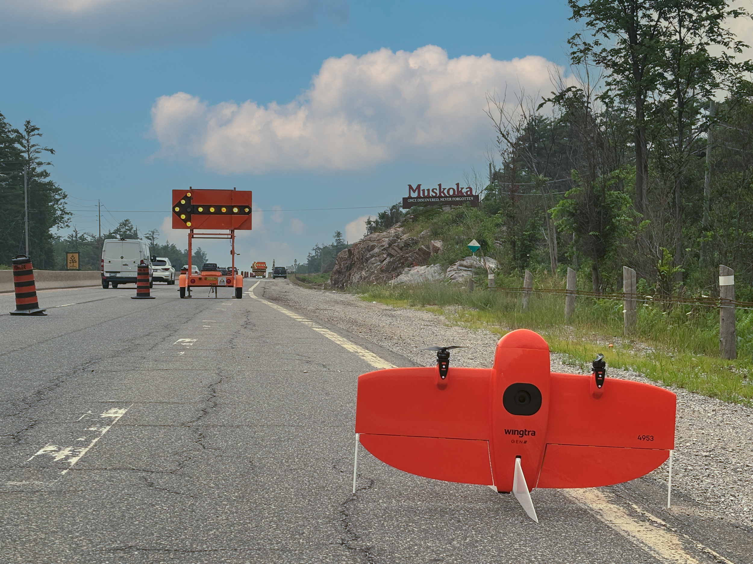
Topographic Mapping and Imaging with FOWLER.
Reach out to start the conversation!
Deeann Allinson
FOWLER Drone Operations
dallinson@fowler.ca
Need More than Mapping?
Discover why FOWLER is the ideal partner for your next project.
FOWLER CONSTRUCTION has been trusted in Ontario’s private and public sectors for over seventy years, delivering excellence in construction and infrastructure projects.